


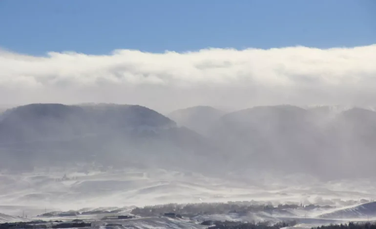

Residents of southeast Wyoming are experiencing a temporary break from winter weather this Sunday morning, but another round of snow and high winds is set to arrive soon, KGAB AM 650 reports.
According to the Cheyenne Office of the National Weather Service, a cold and snowy pattern will return at the start of the week before conditions begin to improve later in the week.
Snow is expected to begin early Sunday in the mountainous regions, spreading to the eastern Wyoming plains and the northern Nebraska Panhandle later in the day. The National Weather Service warns of hazardous travel conditions on Monday due to accumulating snowfall and strong winds.
Some areas under High Wind Watches have been upgraded to High Wind Warnings, with gusts potentially reaching 60-65 mph. Other locations under the watch may experience wind speeds of 55-60 mph. These high winds, combined with snowfall, could lead to blowing snow and reduced visibility, making travel conditions challenging.
In Cheyenne, snow showers are expected to develop later Sunday, with a 30-40% chance of precipitation. Monday will bring stronger chances of snow, with patchy blowing snow possible in the morning and breezy conditions continuing. Snow showers are expected to persist into Tuesday, with temperatures dropping significantly, with lows near -5°F by Tuesday night.
Laramie will also see increased snowfall starting Sunday afternoon, with windy conditions and wind chill values between zero and 10°F. Snow is likely to continue through Monday and Tuesday, with wind gusts as high as 40 mph on Sunday and 30 mph on Monday and Tuesday.
By midweek, the chance of snow decreases slightly, but temperatures will remain cold, with highs in the teens and 20s before warming up toward the weekend.


The latest news in your social feeds
Subscribe to our social media platforms to stay tuned