


Residents of southeast Wyoming are bracing for significant snowfall and dangerously cold temperatures as a winter storm moves through the region, Laramie Live reports.
The National Weather Service (NWS) in Cheyenne has issued Winter Weather Advisories and Extreme Cold Warnings, urging caution as conditions deteriorate.
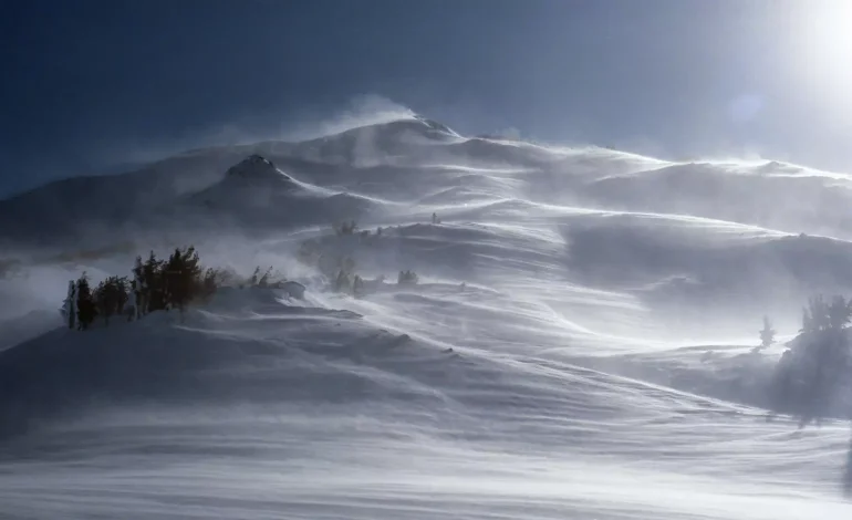
According to the NWS, 2 to 5 inches of snow is expected across much of the region, while higher elevations, including the Snowy and Sierra Madre Ranges, could receive up to two feet. The storm is expected to bring persistent snowfall through at least Tuesday, with periods of heavy snow and potential snow squalls.
Winter Weather Advisories for southeast Wyoming are in effect until 11 PM Monday, while advisories in the Nebraska Panhandle extend through Tuesday. Meanwhile, Winter Storm Warnings remain in place for the Snowy and Sierra Madre Ranges until Monday night.
In addition to snowfall, dangerously cold wind chills are expected as an arctic front settles across the region. Wind chills could drop below -20°F, with the coldest temperatures anticipated in the Nebraska Panhandle.
The NWS has issued an Extreme Cold Warning for the Nebraska Panhandle, which remains in effect through Thursday morning. Additionally, Cold Weather Advisories are in place for parts of southeast Wyoming until Tuesday morning.
The storm is expected to bring fluctuating temperatures and ongoing snow chances throughout the week.
Cheyenne Forecast
- Monday: Snow chances increase throughout the day, with highs near 34°F before temperatures drop to 24°F in the afternoon.
- Monday Night: Snow likely before 11 PM, with lows around 3°F and wind chills between -5°F and -10°F.
- Tuesday: Snow likely, with highs near 18°F and wind chills ranging from -10°F to 0°F.
- Tuesday Night: More snow is expected, with lows around -4°F and wind chills between -10°F and -15°F.
- Wednesday: Snow chances taper off, with partly sunny skies and a high near 16°F.
Laramie Forecast
- Monday: Snow chances throughout the day, with a high near 35°F and gusty winds up to 35 mph.
- Monday Night: Snow likely before 11 PM, with lows around 15°F.
- Tuesday: Snow continues, with highs near 32°F and gusts up to 30 mph.
- Tuesday Night: Snow likely, with lows around 4°F and wind chills between -5°F and 0°F.
- Wednesday: A slight chance of snow, with highs near 30°F.
While conditions may improve by the weekend, bitterly cold temperatures and additional snow chances remain a concern through Thursday. Forecasters advise residents to prepare for hazardous travel conditions, particularly in areas experiencing heavy snowfall and extreme cold.
Safety Precautions
- Limit outdoor exposure, as frostbite can occur within minutes in extreme cold.
- Check road conditions before traveling, as snow-covered roads and reduced visibility may create dangerous driving conditions.
- Ensure proper heating and insulation in homes, and avoid using unsafe heat sources indoors.
For the latest updates, residents can monitor forecasts from the National Weather Service Cheyenne and local emergency management agencies.


The latest news in your social feeds
Subscribe to our social media platforms to stay tuned