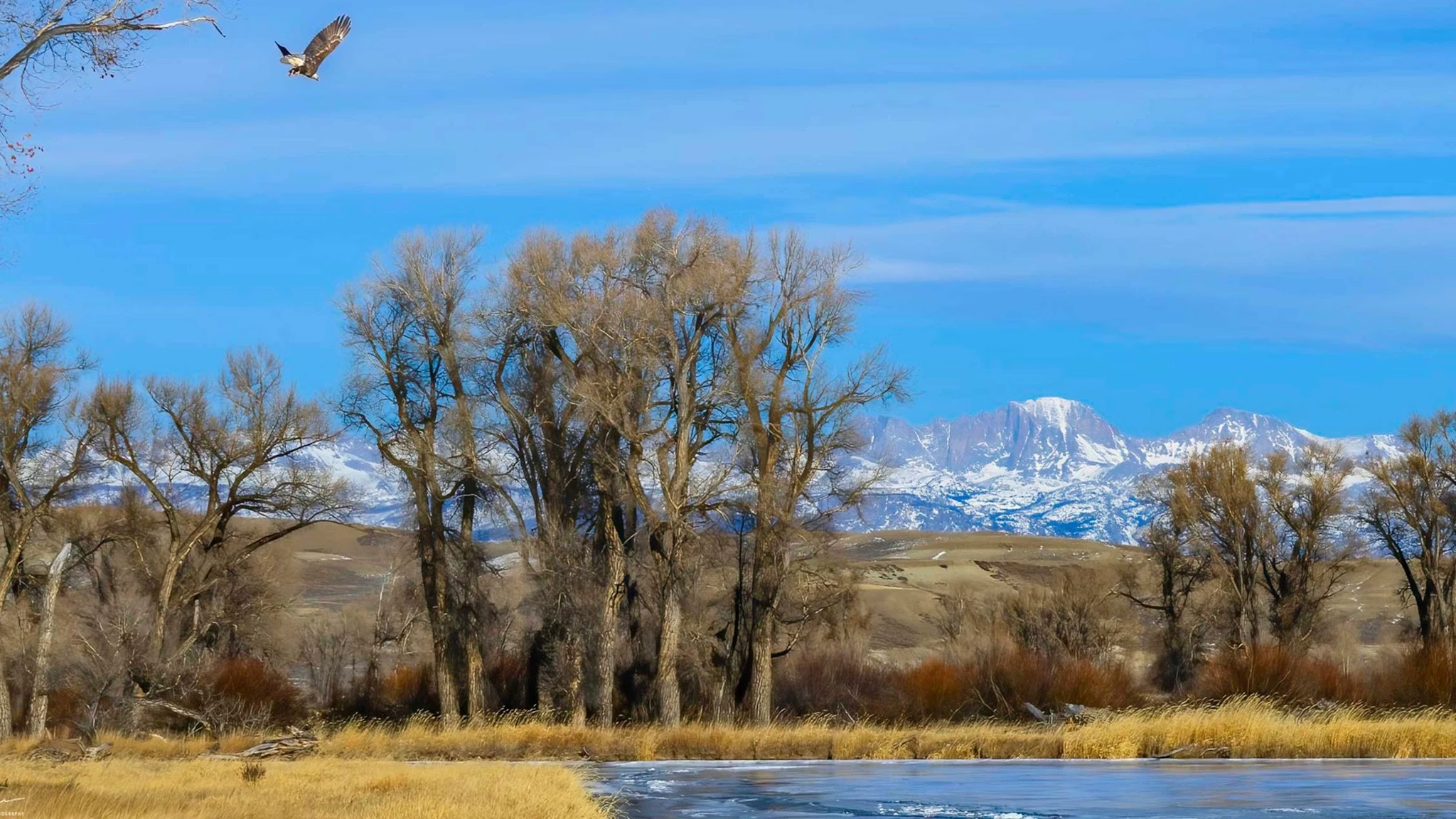


Winter made a dramatic statement across Wyoming this week, setting record-low temperatures in the northeast and bringing massive snowfall to the south.
Sheridan, Gillette, and Newcastle all experienced historic cold on Wednesday morning, while more than 80 inches of snow buried the Snowy Range and Sierra Madres. Meteorologists say winter’s grip isn’t loosening anytime soon.
Sheridan residents woke up to a frigid minus 27 degrees on Wednesday, breaking the previous record of minus 19 set in 1929.
“I knew it was cold, but not that cold,” said Hanns Mercer, Sheridan’s Public Works Director.
Gillette saw even harsher conditions, with a staggering minus 29 degrees recorded at the Gillette-Campbell County Airport. This shattered the previous record of minus 14 from 1928 and came close to the city’s all-time low of minus 40 in 1936. Newcastle wasn’t spared either, with temperatures dropping to minus 23, breaking the old record of minus 14 from 1929.
“It’s definitely very cold out there,” said Aaron Woodward, a meteorologist with the National Weather Service (NWS) in Rapid City, South Dakota.
For those working outdoors, the extreme temperatures were impossible to ignore. Samantha Gross, who manages a ranch south of Gillette, saw her vehicle’s thermometer read minus 31 early Wednesday morning.
“It’s been that cold for four or five hours,” she said.
Her horses, especially two from Oklahoma, needed extra blankets to endure the bitter conditions.
Sheridan’s cold snap has been relentless, with temperatures staying below freezing since February 6. Meteorologist Don Day called it a “cold soaking,” intensified by the heavy layer of snow covering the region.
“The Sheridan record of minus 27 is significant for two reasons,” Day said. “First, Sheridan’s records go back to 1907, so breaking a 96-year-old record is notable. Second, this is the coldest it has ever been this late in February.”
While the northeast froze, southern Wyoming was buried under feet of snow. The Snowy Range and Sierra Madres have received between 70 and 80 inches since Valentine’s Day, boosting snowpack levels across the region.
Cheyenne set a new daily snowfall record on Tuesday, with 7.1 inches falling—more than double the previous record of 2.7 inches set in 1955. Jackson Hole Mountain Resort reported 11 inches of fresh snow on Tuesday alone, following two feet on Monday.
“There’s been a significant increase in snowpack across the Tetons, Wind Rivers, Sierra Madres, and other mountain ranges,” Day said. “Many areas are now above average for the season.”
Despite a forecasted warm-up in the coming days, Wyomingites shouldn’t pack away their winter gear just yet. While temperatures are expected to climb, the lingering snow cover will slow the warming process.
“There’s still a lot of cold air up north,” Day warned. “And as we move into early March, we’ll see more storms forming in the Pacific and tracking toward the western US.”
A dramatic shift in temperatures is expected by the weekend, with highs potentially reaching the 50s and 60s in some areas. However, strong winds of up to 25 mph could accompany the warm-up, making for a blustery transition.
With input from County 17 and Cowboy State Daily.


The latest news in your social feeds
Subscribe to our social media platforms to stay tuned