


A cold front is expected to move into southeast Wyoming late this week, bringing strong winds, rain, and snow, KGAB AM 650 reports.
While the exact intensity and impact of the system remain uncertain, the Cheyenne Office of the National Weather Service (NWS) is advising residents to prepare for significant weather changes starting Thursday and lasting through Saturday.
According to the NWS forecast, the region will experience above-average temperatures through midweek, with highs reaching the upper 50s and low 70s in some areas. However, conditions will shift as the system moves in on Friday and Saturday, bringing high winds, falling temperatures, and precipitation.
- Wyoming is expected to see mostly snow, while
- Nebraska will likely experience mostly rain.
- The storm is projected to exit the region by Saturday night into Sunday.
City-Specific Forecasts
Cheyenne:
- Wednesday-Thursday: Mostly sunny, highs near 59°F, breezy conditions.
- Thursday Night: A slight chance of rain and snow showers (20% chance).
- Friday: Rain and snow likely, with windy conditions and a high near 41°F (70% chance of precipitation).
- Saturday: Partly sunny, high near 40°F, with gusty winds.
- Sunday: Sunny and breezy, warming up to near 48°F.
Laramie:
- Wednesday-Thursday: Mostly sunny, highs in the upper 40s, windy conditions.
- Thursday Night: A 20% chance of snow showers.
- Friday: Snow showers likely with a high near 31°F (90% chance of precipitation). Windy conditions expected.
- Saturday: A chance of snow showers in the afternoon, with windy and cold conditions (high near 30°F).
- Sunday: Mostly sunny, warming slightly to 37°F.
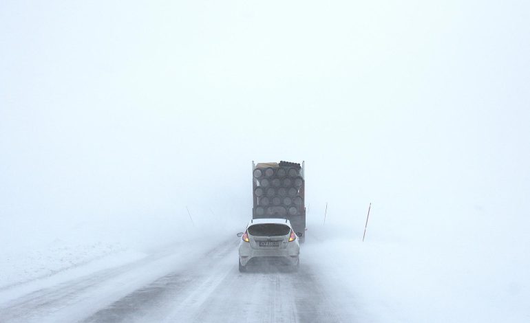
The NWS has not yet issued any advisories or warnings, but meteorologists continue to monitor the system’s development. Travelers and residents should prepare for slick roads, reduced visibility, and strong winds, especially in higher elevations.


The latest news in your social feeds
Subscribe to our social media platforms to stay tuned