


A significant late-season snowstorm is forecast to impact parts of northern Wyoming and southern Montana beginning Tuesday night, prompting Winter Storm Watches across the Absaroka and Bighorn mountain ranges, Country Herald reports.
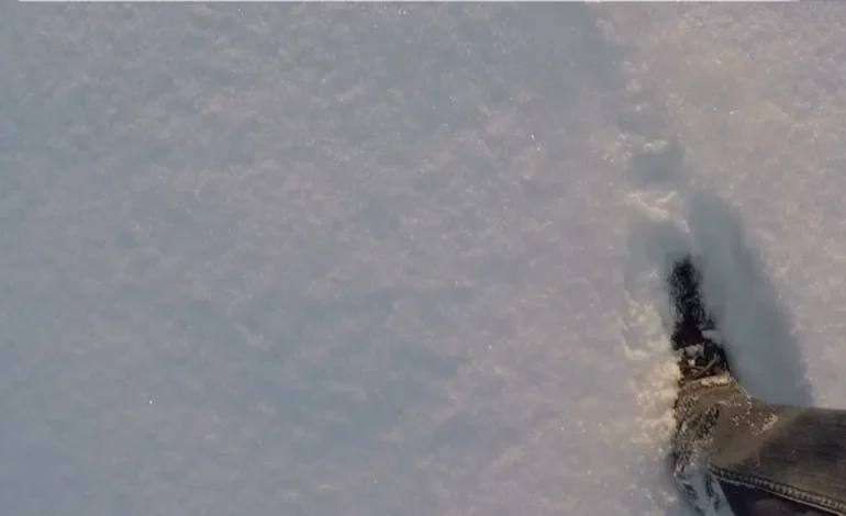
According to the National Weather Service offices in Riverton, WY, and Billings, MT, heavy snowfall is expected to begin late Tuesday and continue through Thursday night. Areas above 8,000 feet, including regions near Cooke City, Story, and Burgess Junction, could see up to 24 inches of snow, with wind gusts reaching 45 mph. The combination of snow and strong winds may lead to whiteout conditions and hazardous travel.
In Wyoming, travel through mountainous routes such as US Highway 14 and backcountry access points in the Absaroka and Bighorn Mountains may become dangerous. In Montana, snow removal efforts on the Beartooth Highway could be delayed or interrupted, affecting local access.
Officials are urging residents and visitors to avoid non-essential travel in high-elevation areas until the storm passes. Those who must venture out are advised to carry winter survival kits and to monitor road conditions via Wyoming’s wyoroad.info or the Montana Department of Transportation’s road report services.
The Winter Storm Watch remains in effect through Thursday night, with the potential for additional warnings as the storm progresses. Travelers and outdoor enthusiasts are encouraged to stay updated on evolving conditions.

The latest news in your social feeds
Subscribe to our social media platforms to stay tuned