


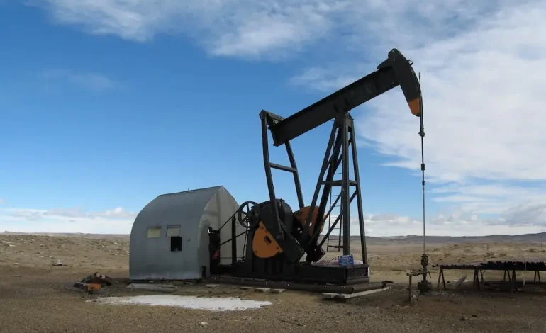

A new assessment from the US Geological Survey (USGS) has identified substantial undiscovered, technically recoverable oil and natural gas resources in parts of Wyoming, Colorado, and Utah.
The findings, announced by the US Department of the Interior, focus on what is known as the Mowry Composite Total Petroleum System (TPS), a geologic region rich in energy potential.
The USGS estimates that the Mowry Composite TPS holds approximately 473 million barrels of oil and 27 trillion cubic feet of natural gas—resources that could enhance the nation’s domestic energy supply and contribute to economic activity in the Western US.
“This new USGS assessment underscores the role of American energy resources in strengthening our energy independence and driving economic development across the West,” said Interior Secretary Doug Burgum.
He emphasized that the findings offer science-based insight to support decisions about land use and resource management on public lands.
The Mowry Composite TPS encompasses a large portion of southwestern Wyoming along with smaller areas in Colorado and Utah. It includes several geologic formations, such as the Dakota Sandstone, Muddy Sandstone, Mowry Shale, and Frontier Formation. These layers were originally part of a shallow inland sea that covered much of the Rocky Mountain region millions of years ago.
Since exploration began in the 1950s, the area has already produced about 90 million barrels of oil and 7.3 trillion cubic feet of natural gas. While those numbers are significant, the newly identified resources remain undiscovered and technically recoverable, meaning they are accessible using current extraction technologies, though not yet confirmed by drilling.
According to USGS Acting Director Sarah Ryker:
“USGS energy assessments typically focus on undiscovered resources—areas where science tells us there may be a resource that industry hasn’t discovered yet.”
The current survey builds on previous assessments, last conducted in 2005, and reflects advances in both geological understanding and drilling technology.
The updated assessment aligns with longstanding federal efforts to evaluate domestic energy potential and reduce reliance on foreign sources. USGS began these efforts in earnest during the 1970s, following an oil embargo that highlighted vulnerabilities in the US energy supply. Today, such assessments remain an essential part of strategic planning for both public agencies and private industry.
In particular, the data informs land-use decisions by the Bureau of Land Management (BLM), which oversees energy development on federal lands. It also provides context for private sector exploration, helping companies evaluate the potential for future investment.
Notably, while the Mowry Composite TPS is the focus of the current announcement, the broader Southwestern Wyoming Geologic Province includes other oil- and gas-producing formations—such as the Lance Formation, Lewis Shale, and the Mesa Verde Group—which were not included in this assessment, suggesting even greater energy potential in the region.
As the US continues to balance environmental considerations with energy development, updated scientific assessments like this one serve as tools for informed policymaking. They offer a clearer picture of what lies beneath the surface and how those resources might be responsibly developed to meet future energy demands.
With input from Reuters and US Department of the Interior.


The latest news in your social feeds
Subscribe to our social media platforms to stay tuned