


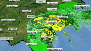
La Niña popped up in October and forecasters say it’s sticking around through winter, which usually means a more active jet stream across the northern US Translation: more opportunities for winter storms to swing through Wyoming, KHOL, Jackson Hole Community Radio reports.
The Climate Prediction Center’s three-month outlook points to a wetter pattern for the northern and western parts of the state, so places like Gillette, Sheridan, and Riverton have a good shot at above-normal precipitation through November, December, and January — mostly in the form of snow. Farther south, including Cheyenne, Casper, and across the border in Scottsbluff, expectations are closer to normal, a classic “in-between” setup when La Niña nudges the storm track just a bit north.
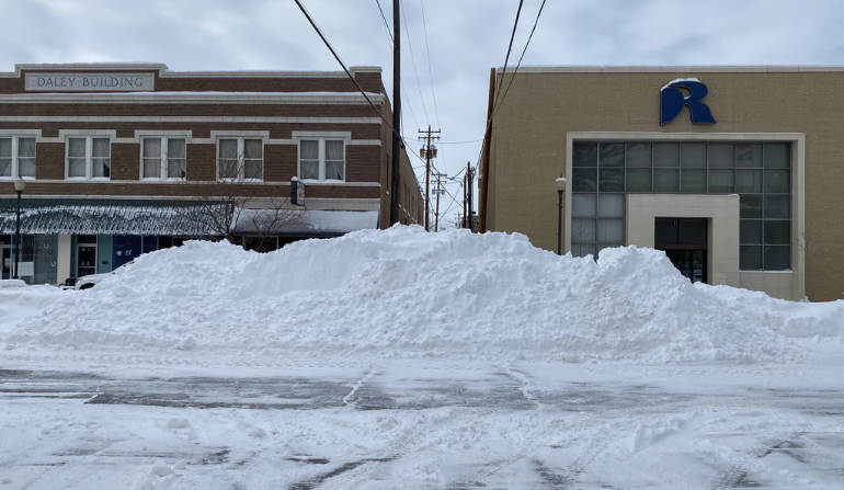
On the ground, that means the usual holiday-season rhythm for lower-elevation cities — roughly five to eleven inches of snow a month — should hold or tick up, while the mountains do what the mountains do: pile on triple-digit totals over the season. And don’t forget Wyoming’s spring twist; some spots tend to bank their biggest snowfalls late, even after an active winter.
The bottom line is straightforward. With La Niña in play, near-normal to above-average snowfall is a reasonable bet statewide. Day-to-day details will matter most, so keep an eye on your local forecast as systems line up. Republished with permission from Wyoming News Now.

The latest news in your social feeds
Subscribe to our social media platforms to stay tuned