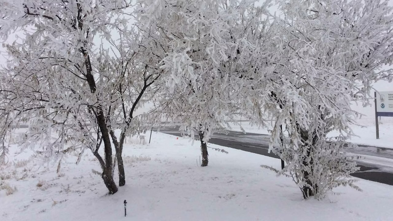


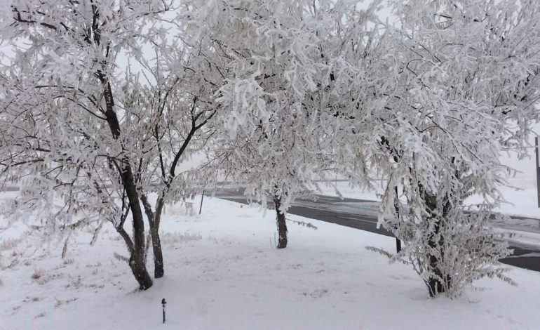
Wyoming has seen a decent amount of snow in the first week of April, but meteorologists say it’s officially too little, too late to save the state’s historically low snowpack, which has been melting for weeks. The spring storm brought much-needed moisture to several dry spots across the Cowboy State. After a miserable March, the first week of April has been what meteorologists say they’ve been hoping for since November: a normal week.
“All of the mountains, from the Snowies to the Bighorns, got the equivalent of 1 to 2 inches of water,” said Cowboy State Daily meteorologist Don Day. “There was nearly three-quarters of an inch in the Red Desert. Laramie got over half an inch of moisture. There were some good precipitation totals.” That improved Wyoming’s snow water equivalent map slightly, but anyone looking for comfort there won’t find it.
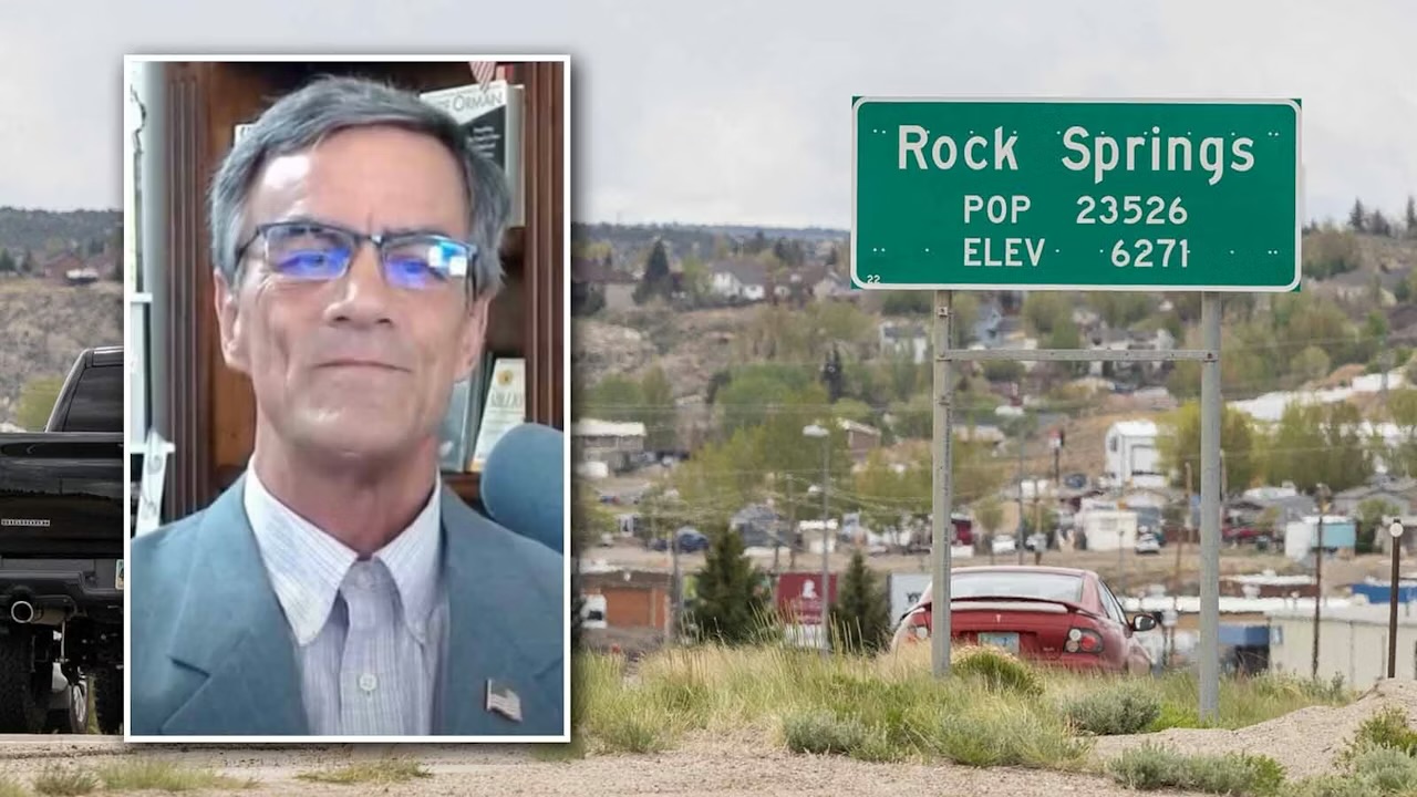
Tony Bergantino, director of the Water Resources Data System and the Wyoming State Climate Office, finally said the word that describes this past winter’s miserable snowpack. “I guess you could say that it’s ‘unprecedented,'” he said. “We have not seen snowpack this low, across the state, in the 30-plus years that I’ve been here, and it’s historically low even further than that.”
Most of Wyoming’s snowpacks reach their peaks in early April, with the cutoff typically April 1. Bergantino said Wyoming is well past its peak. “We hit peaks anywhere between 12 and 45 days early this season,” he said. “None of those basins, except the Yellowstone Basin in northwest Wyoming, even reached their median snowpack before they peaked.” According to 50 manual snow measurements submitted to the Wyoming State Climate Office, Bergantino said 28 indicate that 2025-2026 was the lowest snowpack in Wyoming’s recorded history, with an additional seven tied for the lowest on record, going back over 90 years for some locations.
“That’s the double-whammy,” Bergantino said. “We didn’t get the volume of snow for the peak, and it started melting early.” The chances of a dramatic rebound were slim even before record-breaking March temperatures. Even more precipitation could be a double-edged sword as it gets warmer. “If we get more precipitation, you run the risk of what form that precipitation takes,” Bergantino said. “Does it come down as snow, or does it come down as rain and chew up even some more of that lower elevation snowpack?”
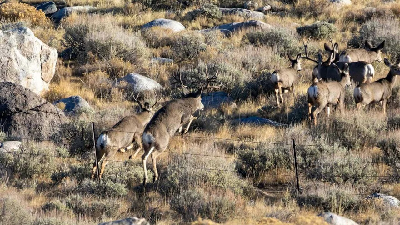
If things don’t turn around this spring, Bergantino cautioned that Wyoming could be looking at water supply issues and a potentially disastrous fire season this summer. Many plants have started to leaf out and flower in confusion or desperation. If they don’t get enough moisture, they’ll desiccate, leaving lots of dry fuel for fires.
Day said he’s not ready to throw in the towel yet. He noted that April has done a lot to change Wyoming’s fortunes in the past. “If you go back and look at some of the bigger snowstorms in Wyoming’s history, a lot of them happened in the last 10 days of April,” he said. “You get these bigger, slower-moving storms that tend to cover more real estate, and that’s what we really need.” He compared the state’s situation to being off the interstate since November, on side roads and dirt roads. Last week’s weather, he said, was a possible “exit ramp.” “I don’t think we’re on the interstate yet, but maybe we’re getting on to the entrance ramp, and hopefully we can merge into traffic,” he said.


The latest news in your social feeds
Subscribe to our social media platforms to stay tuned