


The northern United States is bracing for a week of severe weather as two more storm systems are forecast to hit in quick succession, following closely on the heels of a weekend storm that brought snow, ice, and freezing rain to the Northeast, NBC News reports.
The first system will originate in the Plains on Monday, bringing snow to northern regions and heavy rains to the south. Kansas is expected to be hardest hit, with potential snowfall accumulations of 2 to 5 inches.
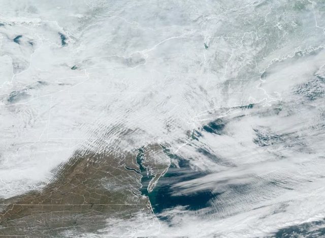
By Tuesday, the storm is predicted to move eastward, impacting the Appalachian and mid-Atlantic regions, and extending somewhat into the Northeast. Virginia, Washington, D.C., Maryland, and Delaware are likely to see the most significant snowfall, with accumulations ranging from 3 to 6 inches.
Adding to the weather woes, a second storm system is projected to follow closely behind on Wednesday, bringing another round of widespread rain and snow across the Plains and the Midwest before moving into the Northeast by Wednesday night and Thursday.
Simultaneously, an arctic air mass is poised to descend upon the Plains and the Rockies, potentially plummeting temperatures by 10 to 40 degrees below average. Montana and the Dakotas are expected to experience the most extreme conditions, with temperatures remaining below zero and wind chills potentially reaching as low as minus 40 degrees. Cities like Seattle, Billings, Montana, and Portland, Oregon, could also see record-low temperatures.
These severe weather updates coincide with the 155th anniversary of the National Weather Service on Sunday.
The weekend’s low-pressure system blanketed parts of the mid-Atlantic and Northeast with snow, freezing rain, and icy conditions. New York City’s Central Park received a thin layer of snow, attracting visitors who enjoyed sledding and snowball fights. Ballston Spa, New York, recorded a significant 14 inches of snow from the storm.
Overnight in Rockland County, New York, roadways were covered in snow and ice, leading to hazardous driving conditions. In East Petersburg, Pennsylvania, residents tested the icy conditions with hockey pucks. Freedom, New Hampshire, awoke to a fresh blanket of snow, with a weather station near Tamworth recording nearly 10 inches of snowfall in 24 hours. Boston Logan International Airport reported 5.5 inches of snow.
The weather service office in Burlington, Vermont, reported that Mount Mansfield has received 78 inches of snow this season, nearly 2 feet above normal.
The weekend storm significantly disrupted travel. FlightAware.com reported approximately 416 cancelled and 3,245 delayed U.S. flights, primarily in the Northeast, through early Sunday evening.
The low-pressure system is now moving off the coast, and all winter alerts have been lifted in the Northeast, although some lingering snow showers may occur Sunday night.
The National Oceanic and Atmospheric Administration (NOAA) forecasts indicate that temperatures will remain colder than usual across the northern United States over the next one to two weeks. Residents are urged to stay informed about weather updates and take necessary precautions.