


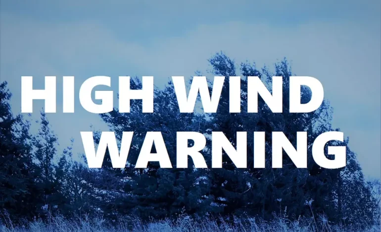
The National Weather Service (NWS) in Cheyenne has issued High Wind Warnings and Watches for parts of southeast Wyoming, with strong winds expected to continue through Tuesday, KGAB AM 650 reports.
Wind-prone areas, including ridge tops and gap wind locations, could experience gusts reaching 70 to 80 mph at times.
Cheyenne remains under a High Wind Warning, while Laramie is currently under a High Wind Watch. According to the NWS, sustained winds of 30 to 45 mph are expected across much of the region, with gusts ranging from 50 to 65 mph.
The High Wind Warnings will remain in effect until 11 p.m. Tuesday for Rawlins, Arlington, Douglas, Wheatland, Torrington, Cheyenne, and the I-80 Summit. These areas are forecasted to see sustained winds of 30 to 40 mph, with gusts potentially reaching 75 mph. Meanwhile, High Wind Watches have been issued for Laramie, Pine Bluffs, Scottsbluff, Kimball, and the western Nebraska Panhandle, where conditions could also become hazardous.
In Cheyenne, temperatures are expected to remain mild, with highs near 59°F and mostly sunny conditions. However, winds could intensify, especially on Tuesday, with gusts reaching up to 60 mph. Laramie is also expected to see strong winds, with gusts up to 50 mph and a slight chance of rain or snow showers on Tuesday afternoon.
Residents and travelers in affected areas are advised to exercise caution, as strong winds could create hazardous travel conditions, especially for high-profile vehicles. The National Weather Service recommends securing loose objects and staying updated on weather advisories.