On the Brink: Can Wyoming’s Winter Recover From Its Record-Warm Start?

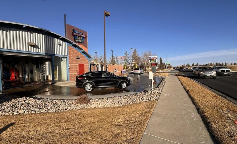
The calendar says it’s winter in Wyoming. The thermometer—and a troubling lack of snow—tell a different story.
Data from the National Weather Service confirms what many have felt: the start of the 2025-2026 season has been the warmest on record across much of the state. From December 1st through January 31st, average temperatures soared anywhere from 2 to a staggering 13 degrees above normal, shattering century-old records in some communities.
“It just seems intuitive, but we are not having a normal winter,” said Noah Myers, a meteorologist with the NWS office in Riverton. Towns like Riverton and Big Piney saw the most dramatic shift, clocking in at least 13 degrees warmer than average. In Lander, where records go back to 1891, this winter was 12.3 degrees warmer.
The culprit is a vicious, self-reinforcing cycle. “Snow keeps temperatures down,” Myers explained. Without early-season snowstorms to chill the ground, the air over Wyoming stayed unusually warm. That warm air, in turn, acted as a barrier, blocking the cold, moist systems that typically deliver winter weather to the Rockies.
Instead, those systems have been consistently rerouted east. “We build up a lot of cold in the northern latitudes, and we wait for the trigger to send it south,” said Cowboy State Daily meteorologist Don Day. “But we’ve been stuck in a pattern where every time the Arctic air reloads, it keeps going to the same place. That’s how you get snow in Florida and Georgia but none in Utah.”
Day compared Wyoming’s season to a losing streak at a slot machine. “Every time we’ve pulled the lever, it’s triple seven for the central and eastern United States, and the West keeps losing its quarter.”
A Glimmer of Hope, Tempered by Reality
With Groundhog Day bringing predictions of six more weeks of winter, meteorologists see a potential phase change on the horizon. Long-range models suggest the persistent high-pressure systems are weakening, possibly opening a door for Arctic air to finally reach Wyoming in February.
“All I can tell you is what the data shows,” Day said. “The data suggests strongly, not weakly, that we’ve got a phase change coming next week, and it should stick around.”
However, even if colder, snowier weather arrives, experts say it may be too little, too late to salvage a typical winter. “We’ve missed the mark to have really cold weather with snow on the ground in December and January,” Myers stated. He believes that even with significant February snowstorms, the season will likely end with above-average temperatures overall.
The Stakes Beyond the Ski Slopes
The implications stretch far beyond disappointed skiers and snowmobilers. The mountain snowpack—vital for the state’s water supply—is currently faring “fairly well” and is at or above average for this time of year. This is the key metric for ranchers and communities looking ahead to spring runoff.
“There is a silver lining,” Day noted, pointing out that ranchers would prefer a heavy, wet snow that melts quickly to nourish spring grass over prolonged cold.
Yet, a lingering worry remains. The state is at a critical juncture. “We’re really at that cusp,” Day emphasized. “If we don’t see this phase change next week… that’s going to be a huge concern for the rest of the year. I’m certainly in fear that that’ll happen.”
For now, Wyoming waits, watching the sky for signs of the winter that never quite arrived.


The latest news in your social feeds
Subscribe to our social media platforms to stay tuned