


Winter Finally Arrives in Wyoming with Mountain Snows That Could Start a Better Trend
After an unusually warm and dry winter, significant snowfall is finally arriving in Wyoming. The long-awaited shift in weather patterns is poised to deliver heavy, wet snow to the mountains west of the Continental Divide, providing a crucial “refresh” for the state’s vital mountain snowpack.
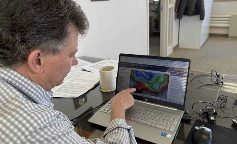
The incoming system, which began affecting mountain passes on Monday, is not a powerful polar vortex, but meteorologists see it as a critical turning point. “These storm systems are the sacrificial lambs, softening up the defenses so future systems can be more impactful,” said Cowboy State Daily meteorologist Don Day. He forecasts that the western mountains will enter “a pattern of frequent snowstorms” over the next two weeks, building up snow with high water content that is ideal for spring runoff.
For the rest of the state, especially lower elevations and eastern plains, the immediate effects will be more modest. The mountains will “eat up” most of the moisture, according to National Weather Service meteorologist Taylor Wittman. Most residents will primarily notice a drop in temperatures from the recent 50s and 60s down to the low 40s—a change that is near normal for mid-February but will feel significant. Lower elevations may see rain or a rain-snow mix, but little accumulation is expected.
The true importance of this shift is its potential to break the persistent warm, dry pattern. Both Day and Wittman agree this system signals the beginning of a more active and colder weather trend that could last through the end of the month. “This week’s pattern change is not extremely potent, but it’s better than what we’ve seen,” Wittman said, offering hope that Wyoming’s winter is finally finding its footing where it matters most: in the mountains.


The latest news in your social feeds
Subscribe to our social media platforms to stay tuned