

Snow squalls, freezing temperatures, and 60 mph wind gusts. That’s the rest of this week in Wyoming weather that will be decidedly more winter-like than much of this past winter around the state. Meteorologists are monitoring a fast-moving cold front that will have a sudden and dramatic impact across the state starting Thursday and moving into the weekend.
“We’re going to get a little bit of everything,” said Cowboy State Daily meteorologist Don Day. “We’re definitely going to see some snow and strong wind gusts. We’re definitely going to have some travel concerns. From Thursday afternoon through Saturday morning, folks need to be ready for a shock to the system.”
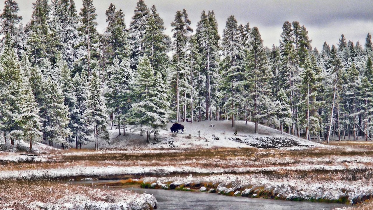
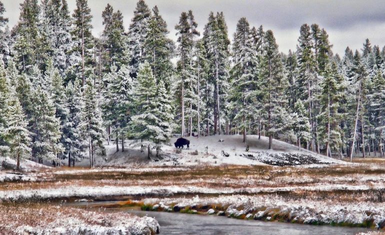
As is typical for Wyoming winter storms, the heaviest snow will fall in the mountains. Forecasts are calling for up to 12 inches of much-needed snow to bolster weak snowpacks at a critical point in the season. “We’re looking at 7 to 8 inches in the Snowy Range and Sierra Madres,” said general forecaster Matthew McLaughlin with the National Weather Service office in Cheyenne. Similar snowfall is expected across western Wyoming, including Yellowstone and Grand Teton national parks. The snow should start falling on Thursday evening and continue into Friday morning. Lighter accumulations could range from 1 to 4 inches, depending on location and elevation.
Meteorologist Adam Dziewaltowski with the NWS office in Riverton said predicting the impact of this system is “tricky.” He’s monitoring bands of snow that will stretch across Wyoming. “There should be steady snowfall across central parts of the state, anywhere from 2 to 5 inches across Natrona and Johnson Counties,” he said. “We’re looking at good moisture across the Bighorns and Wind Rivers. Even Casper Mountain should get some good moisture.”
Day said the sudden drop in temperature, especially overnight, is likely to catch many people off guard. “We need to be prepared for a couple of nights of hard, freezing temperatures,” he said. “There will be a lot of temperatures in the low to mid-20s, especially in the northern and western part of the state, and upper teens to lower 20s on Friday night into Saturday morning.” The freezing temperatures will be accompanied by wind gusts of up to 60 mph, but Day said it won’t be a prolonged wind event like those in March.
According to Day, “all the stars will align,” particularly over central Wyoming, on Friday morning. He’s particularly concerned about Interstate 80’s “perennial problem spot” near Elk Mountain and the stretch of I-25 between Casper and Buffalo. “I think the worst of the worst will be Friday, mainly in the morning to around the noon hour,” he said. “That’s when it’s going to be the coldest, the windiest, and the snowiest, all at once.”
Many Wyomingites could be caught off guard and should brace themselves for unexpected hazards. “We could definitely see more impacts than we anticipate as this cold front progresses,” McLaughlin said. “We could definitely catch some people off guard, especially if they’ve been running their sprinklers with how warm it’s been.” People have been encouraged to start watering their lawns, trees, and gardens to compensate for the lack of moisture this winter. It might be in their best interest to turn off their hoses and sprinklers before the cold front arrives.
From a weather perspective, the downside to this cold front is that it’s moving rather quickly, meaning the moisture it carries won’t stick around. “I would like this front to be moving more slowly and be more productive with the moisture, but we’ll take what we can get,” Day said. Dziewaltowski agreed that after the record-breaking warm and dry winter, any moisture is welcome. “We might have some snow squalls develop with gusty winds that’ll decrease visibility on the highways,” he said. Day’s message is simple: be prepared. “We should be fine once we get into Friday afternoon, but folks need to be prepared for Thursday night and early Friday,” he said. “It could get icy, and there could be snow accumulations on the higher-elevation roadways and I-80. It’s going to be a shock to the system.”


The latest news in your social feeds
Subscribe to our social media platforms to stay tuned