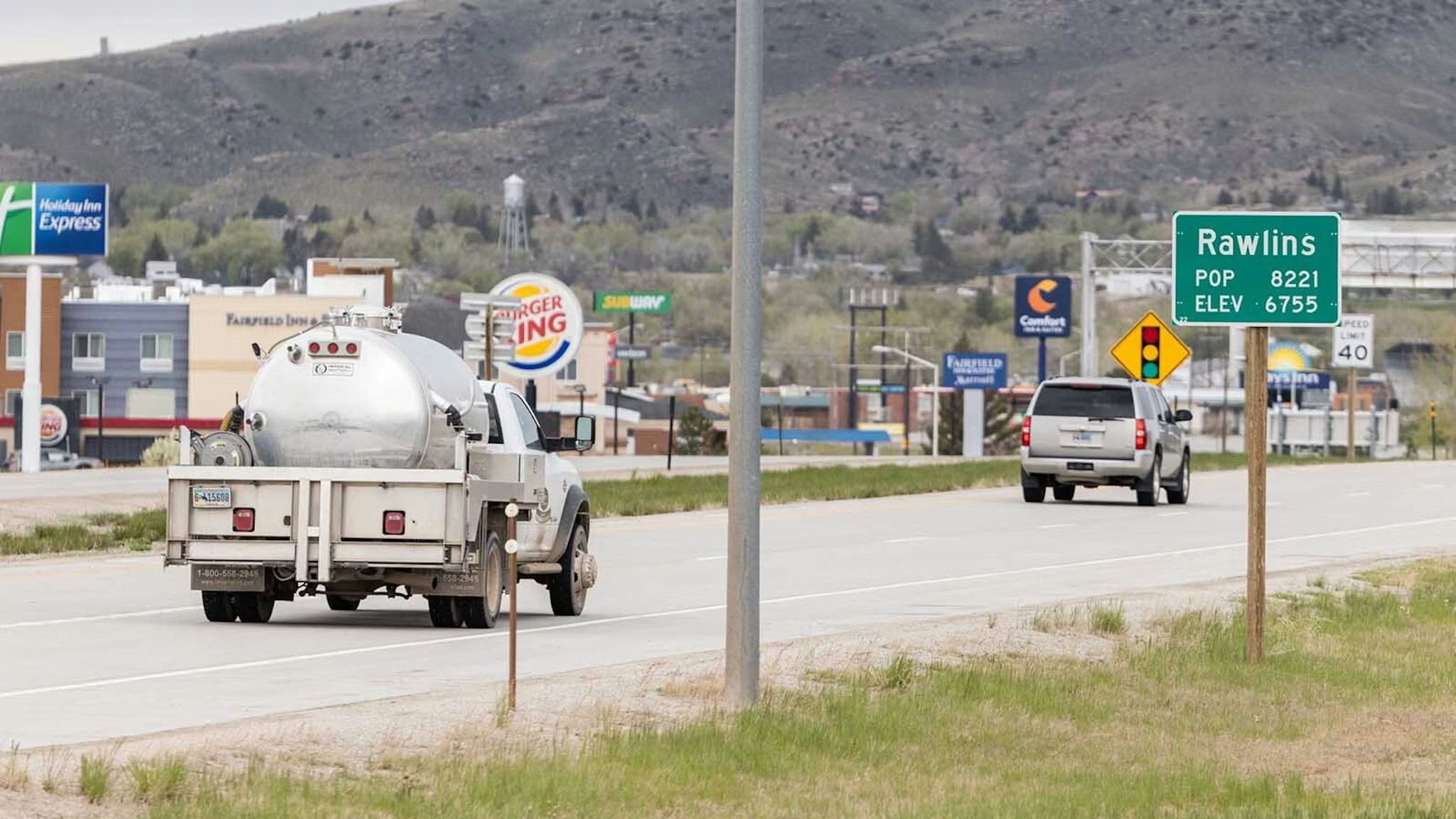
Rawlins wants to shake reputation as drive-thru town for I-80 travelers
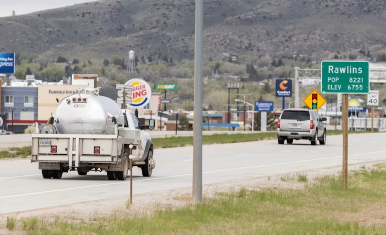
Rawlins is trying to shake its reputation as a place travelers on Interstate 80 only pass through, stopping for gas and a bathroom break before moving on. A new push is on to show visitors that there’s plenty to see if they’d stay overnight.
The town sits at a significant dip in elevation along the Continental Divide, which made it a natural crossroads for westward travel. The Union Pacific transcontinental railroad, the Lincoln Highway (America’s first coast-to-coast highway), the old transcontinental airmail route, and now the Continental Divide National Scenic Trail and the Great Divide Mountain Bike Trail all converge here. “This is the only place in the United States where all of these intersect,” said Pam Thayer, executive director of the Rawlins Downtown Development Authority.
Rawlins got its name from a spring of sweet, alkali-free water. The story goes that Gen. John A. Rawlins, suffering from tuberculosis and traveling with Union Pacific Chief Engineer Grenville Dodge, wished aloud for a cold drink of good water. When scouts found a spring in present-day Rawlins, Rawlins declared it the most refreshing thing he’d ever tasted. “If anything is ever named after me, I hope it will be a spring of water,” he said. Dodge marked “Rawlins Springs” on his survey map. The “springs” was eventually dropped, and the town was incorporated in 1886.
Today, Rawlins is one of only three towns where the Continental Divide Trail goes through a downtown, and it sits just 10 miles from the exact halfway point of the trail. Thayer hopes travelers heading to Yellowstone or Devils Tower will be drawn to the quirky appeal of standing in a community with the most crossroads in America. “We could have people go to Yellowstone, Devils Tower, and make the final point down to Rawlins to see this,” she said.
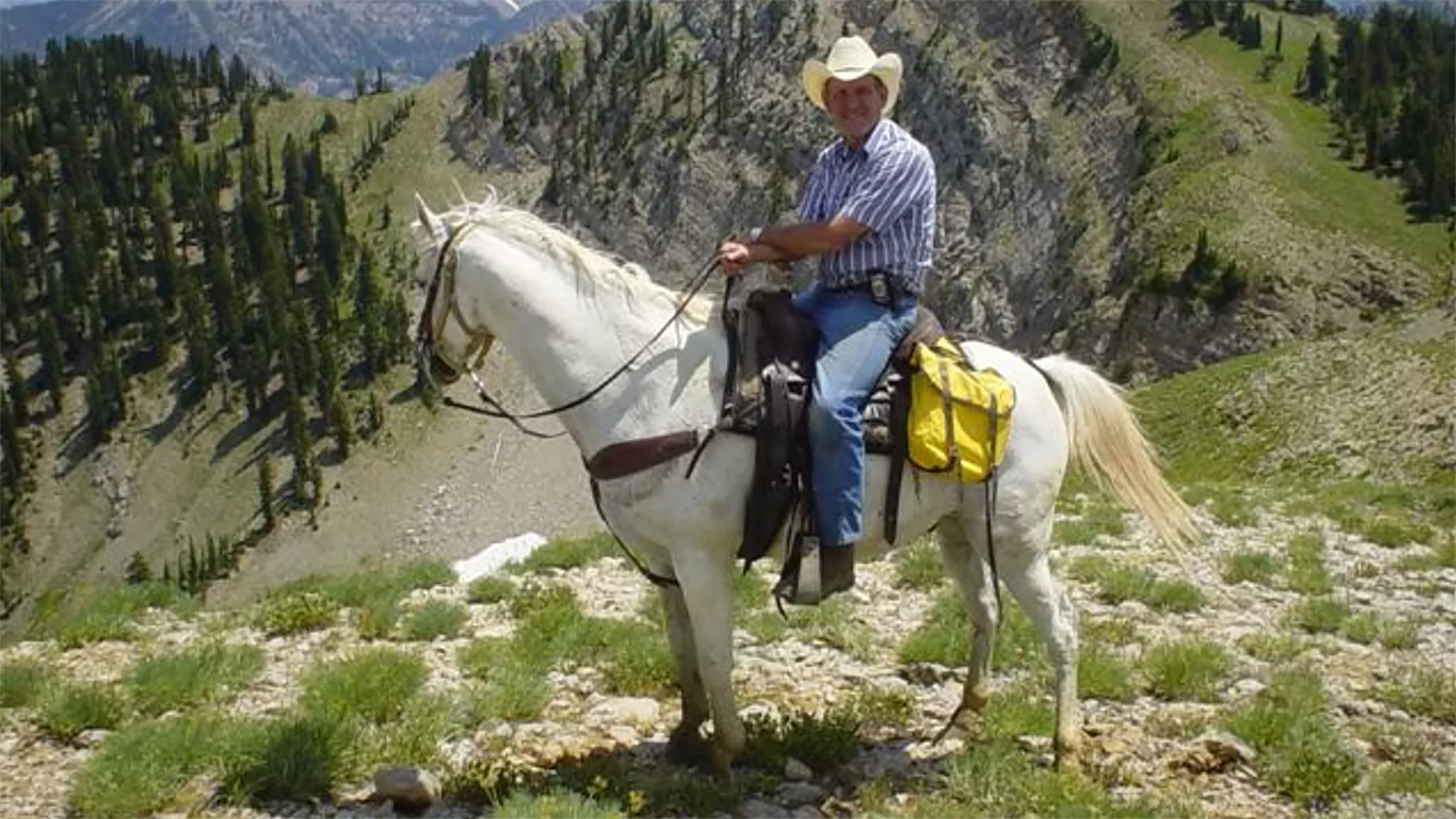
City administrator Matt Hall, formerly mayor of Cody, said Rawlins holds its own as a basecamp for adventure. “I love getting out and going south of town on 71, going up into the mountains, the Sierra Madres. All that’s within a half hour or so of Rawlins. And then you’ve got the North Platte River, which is about 15 minutes away for floating and everything.” The Ferris Mountains, known for their striking white limestone cliffs, are north of town. The Sierra Madres to the south are part of the Battle Pass Scenic Byway and Aspen Alley, a famous stand of trees that draws photographers every fall. The Red Desert is just 20 miles west.
Foodies have plenty of options too. Community Relations Director Mira Miller recommends downtown’s Anong’s Thai Cuisine and says it would take about three weeks to try all of Rawlins’ locally owned restaurants. The Frontier Prison offers tours, and the Carbon County Museum displays a pair of shoes famously fashioned from the skin of outlaw Big Nose George Parrott after he was lynched in 1881, along with his skull and a death mask.
The Rawlins Uplift, a large wrinkle in the earth that rises 1,000 feet above the surrounding high desert, features 2.5-billion-year-old red granite. That granite created a pigment called Rawlins Red, which local historians say was once used to paint the Brooklyn Bridge. The Uplift offers a walking trail from Rawlins Springs with signs explaining local history and geology. The sagebrush-covered slopes also offer jade, agate and petrified wood for rockhounds.
Thayer envisions a multi-destination district where communities work together to attract travelers for different reasons. “Hundreds of people walk through our community,” she said. “And we should be proud of that. This can be a one-of-a-kind destination district. A place where you can learn about the history of the railroad.” Rawlins, she believes, is ready to stop being the tourism bridesmaid and finally become the bride. The town’s many crossroads, she said, are not just a point of passage but an invitation to stop, explore and stay awhile.


The latest news in your social feeds
Subscribe to our social media platforms to stay tuned